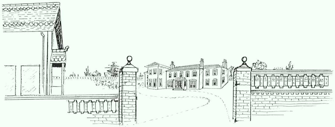
The Oakmount Triangle was built in the early part of the twentieth century on the site of Highfield House and its triangular shaped grounds (The High Field – possibly Hay Field originally) which bordered to the south east with Westwood House, to the north east with Oakmount and to the west with Southampton Common.
 Highfield House itself originated about 1810. This pleasant and agreeable villa was built by Captain (later Admiral) Edward James Foote RN (1767-1833), who lived there from 1819. He was acquainted with the novelist Jane Austen, but famous in his time for a published attack upon Nelson’s savage conduct against rebels at Naples in 1799.
Admiral William Morier (1790- 1864), brother of the novelist James Morier, lived there in the mid nineteenth century. These naval connections might explain a cannonball recently found in the garden of 24 Oakmount Avenue.
No photographs or paintings seem to exist – the illustration above is an artist’s impression.
Afterwards the house passed through a group of distinguished local and related families, ending with the Morley Lees who sold it in 1910, with the estate, for speculative development. It was purchased by John Smith, who built the development known as the Oakmount Triangle on the grounds. According to The Country Houses of Southampton – Jessica Vale the house itself was finally demolished in 1935, however it must have been earlier as the ordnance survey map of 1933 (see below) show the blocks of flats Westbourne Mansions and Leigh Mansions on the site of where it once stood.
The house was situated at the highest point of the area, and must have had a stupendous view across fields and woodland to Southampton Water, and possibly even of the Isle of Wight. The blocks of flats at the top of Oakmount and Westbourne Crescent are situated on the actual site of Highfield House, whose original lodge still exists at the northern entrance to Oakmount Avenue. You can see the distinctive yellow brickwork of the wall facing the common.
Other visible remnants include the garden wall adjacent to 38 Oakmount Avenue and parts of border wall between Highfield House and Oakmount, at the back of 24 Oakmount Avenue.

The hedgerow running south from what is now the junction of Oakmount Avenue and Leigh Road down to what is now Blenheim Avenue, is shown on the 1658, 1868 and 1910 maps. There is a well pump marked, which we believe is still in existence at a house in Blenheim Avenue. The border between Highfield House and Westwood House is now in line with the borders between the gardens of Blenheim Avenue (south) and Winn Road.

What’s Left of Highfield House?
Mouseover or use the slider to view before and after development


 Portswood Broadway Busgate Latest!

Lived in Highfield for 62 years. Never knew this story, thank you. Love the history.