The area that comprises the Oakmount Triangle conservation area formed a small part of the estate of South Stoneham, first defined in an undated 11th century charter, and then defined in more detail in a charter of 1045. By 1127, part of this area had been granted by Henry I to the Augustinian canons and their community at St Denys, and the demesne was further increased by later grants, notably by Stephen (1137). Following the dissolution of St Denys’ Priory in 1536, the main part of the estate was acquired by Francis Dautrey and acquired the name of the Manor of Portswood.
The manor then passed through a succession of owners and was gradually broken up. The Highfield House Estate was one of the fragments.
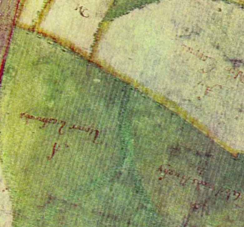
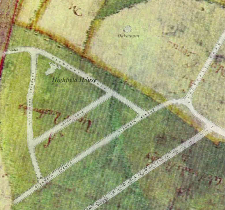
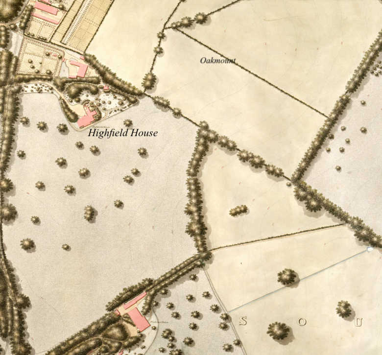
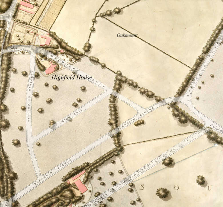
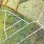
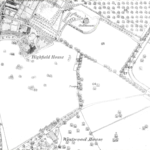
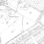
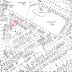
Map Overlays (1658 – 2019)
View the interactive overlays which show you how the area has changed and developed over the years, and see how much is left of Highfield house.
Maps from 1658, 1846, 1870, 1910, 1911, 1933, 2017. Click on a thumbnail button to change the map

 Portswood Broadway Busgate Latest!
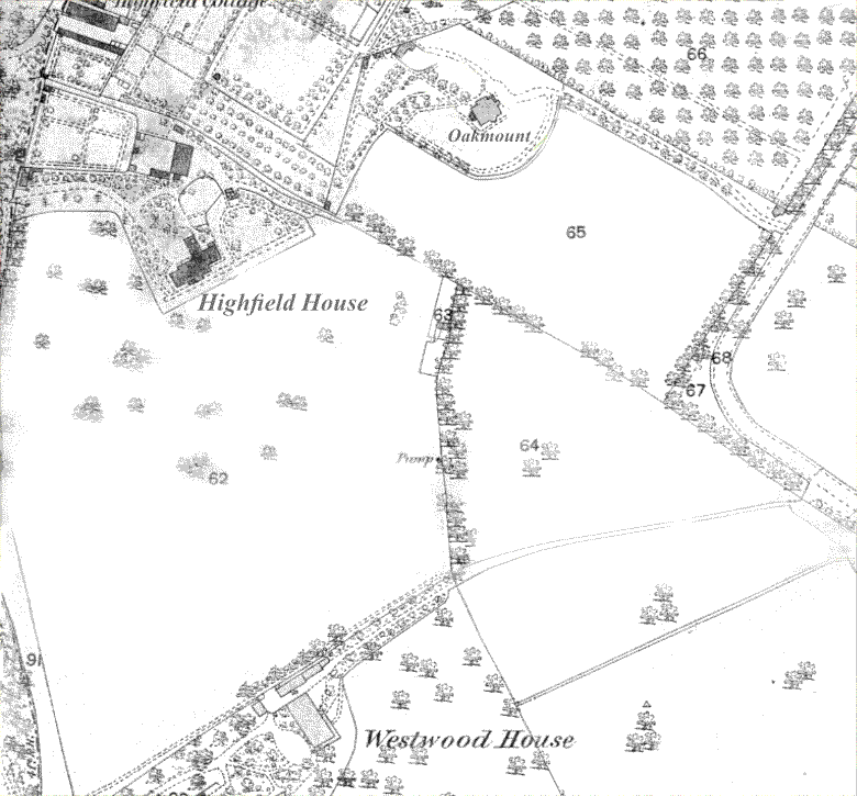

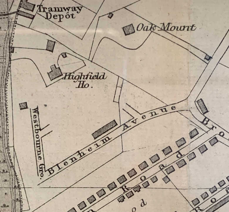
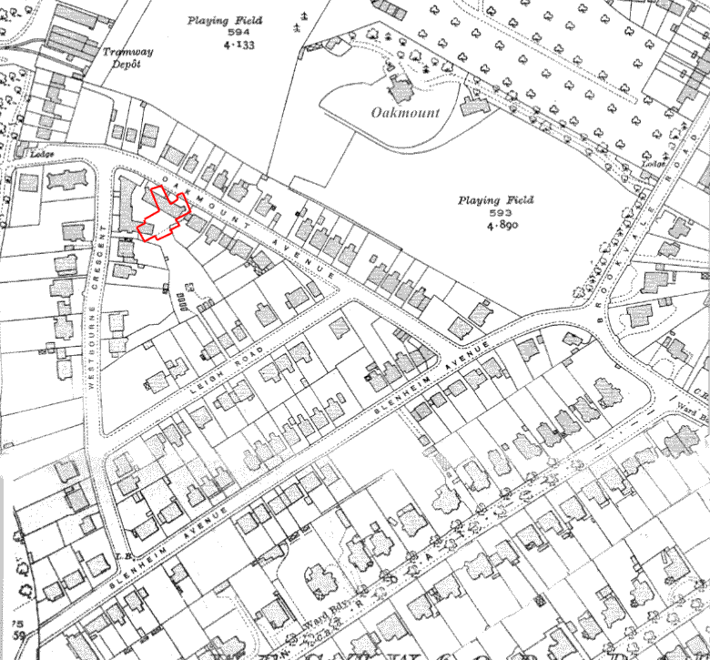




I’m trying to get information on Oakmount Mansions in Oakmount avenue/Westbourne crescent.
I am interested in when they were built and if the existing building is the original mansion or a rebuild
As far as I know it was probably mid to late twenties and is original (somewhat rebuilt after the war damage though).
I like the overlay old map together with the up-to-date one sliding over it, must say it is a very nice idea for understanding the past here.